Your Shopping Cart is empty.


One of my favourite photos, a medieval maze of ancient roofs, but weirdly dominated by over 100 satellite dishes


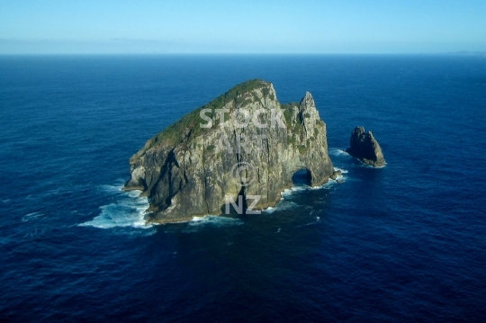
Aerial view of the famous landmark in Northland, also Motukokako or Piercy Island, a spectacular rock outcrop in the ocean - lower resolution photo
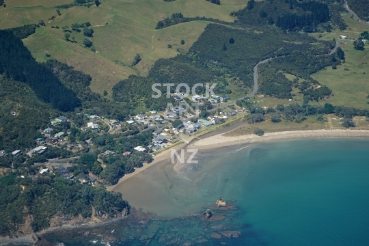
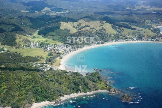
Houses and beach at the Rapata Road end of Oakura Bay, a small coastal settlement in Whangarei District


The wild surf beach with rocks and Tarakanahi Island, in the background Bream Head Reserve, Whangarei Heads, Northland - lower resolution stock photo
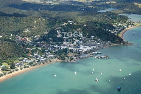
View of Paihia and the waterfront from above

View from Whangarei Harbour to the western end of Waikaraka and the green hills above
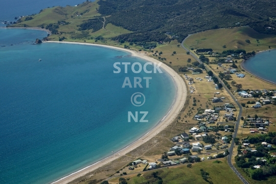
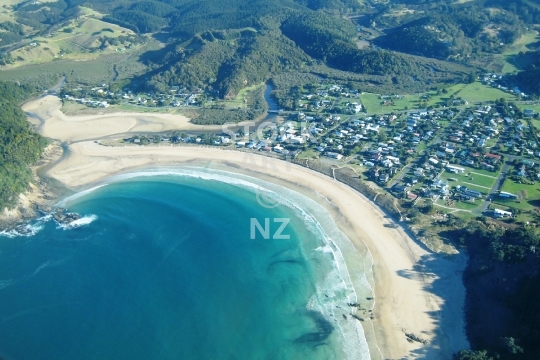
Aerial photo of the beautiful Whangaruru North beach settlement and peninsula on Northland’s east coast

Aerial photo of the settlement at Whangaruru Beach in Oakura Bay on Northland’s east coast

View of Beach Road and the airport runway towards the west and the city
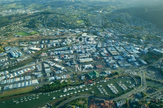
Vintage aerial photo of the Whangarei Town Basin and the CBD central business district

Native bush with Puriri trees - view of the forest canopy from above
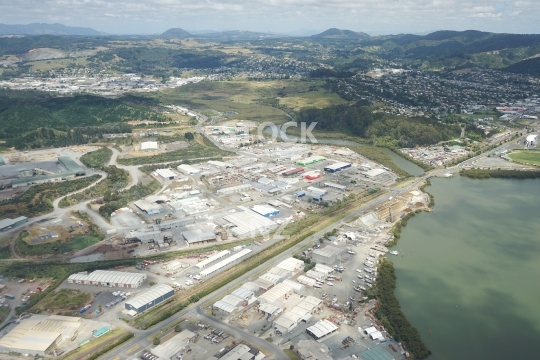
Intersection Port Road and Kioreroa beside Hatea River and Whangarei Harbour - aerial photo
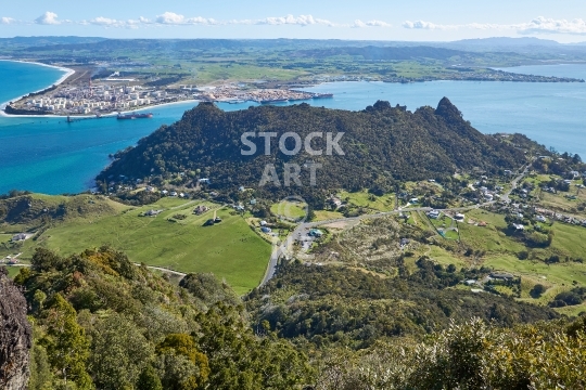
View of Aubrey from Mount Manaia, with Marsden Point and the Refinery in the background and McLeod Bay to the right

View of Raurimu Avenue to beach Road and the port

View of the cricket oval and rugby stadium
Coastal view of this beautiful beach in Northland, New Zealand

Vintage low resolution photo from 1994 of the high altitude capital of Ladakh

With fishermen_qt_s houses, cafes, shops, people and boats at sunset - Gulf of Naples, Italy


